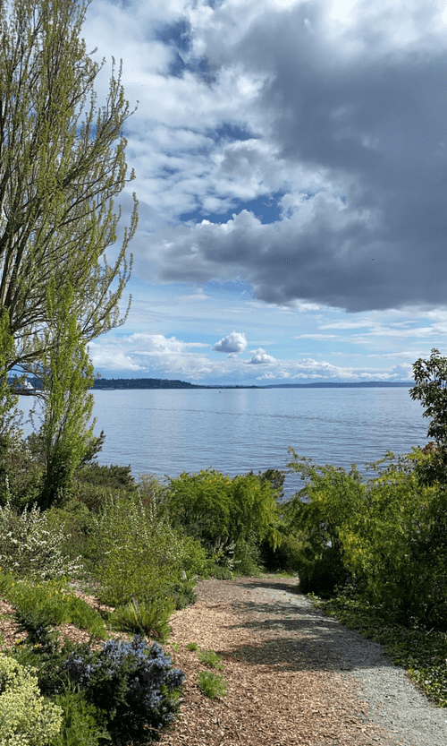
Magnolia LoopMagnolia Loop
- At A Glance
- Distance: 4.5 miles
- Type: Loop
- Features: Hills, Views (Elliot Bay, Puget Sound, Olympics, Rainier, City Skyline)
- This hike in one of Seattle's most isolated neighborhoods has some really spectacular viewpoints.
- Route
- Starting from Magnolia Blvd W and W Howe St, head West on W Howe St.
- Turn left on Magnolia Blvd W and continue towards Magnolia Viewpoint parking area. Enjoy the views of the Olympic Mountains across the Puget Sound.
- At the parking area, find the staircase downhill, then turn left on Perkins Lane W.
- Stop by the waterfront at W McGraw Shoreline Street End before continuing on Perkins Lane W.
- Ascend the staircase on the right back up to Magnolia Blvd W, then turn right.
- Turn left at Montevista Pl W, walking uphill.
- At the intersection with Eyres Pl W there is a nice viewpoint of the Seattle skyline.
- Turn right onto 38th Ave W.
- Turn left at W Armour St then right at 39th Ave W.
- Once you reach the Water tower, take a right on W Dravus St.
- Take a right at 31st Ave W then left on W Barett St.
- Turn right onto 27th Ave W, heading South. This stretch has a view to the East of Queen Anne Hill & the Seattle skyline.
- Continue through Ella Bailey Park, then turn left at W McGraw St.
- Turn right and head South on 28th Ave W.
- Turn right at W Galer St, back towards the starting point.
- Optional addons
- Discovery Park - 500+ acre park with hiking trails, beaches, & bluffs overlooking the Puget Sound.
- Ursula Judkins Viewpoint Park
- 30th Ave W Shoreline Street End
- 32nd Ave W Shoreline Street End
